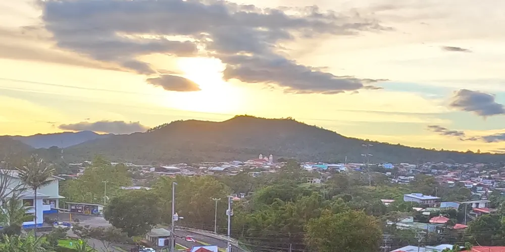
Naranjo, Costa Rica
The canton of Naranjo is located 32 kilometers from the city of Alajuela and about 25 minutes from Serenity by Nature. This canton is known worldwide for its world-class coffee. It has won several times the Cup of Excellence award, where national and international tasters evaluate the different coffees of Costa Rica.
Naranjo coffee has even reached Japan and Europe where international baristas use coffee from the area in drinks for clients and competition judges.
But Naranjo is not only coffee, let’s take a look at some of the beautiful things about the canton, such as its main city.
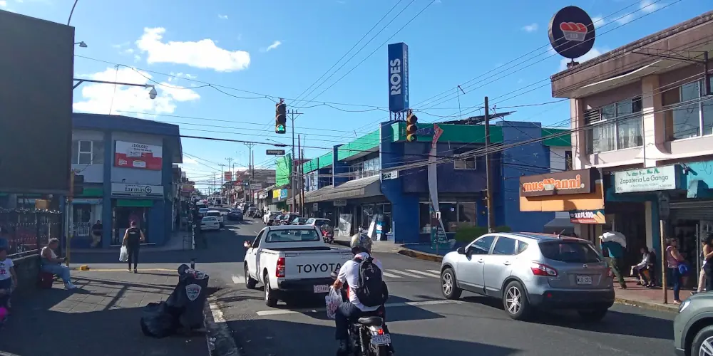
The city of Naranjo
On July 24, 1918, Federico Tinoco, then president of the republic, signed the decree of law number 28, which conferred to the then village of Naranjo the category of City. Naranjo had already been a canton since 1889, but there was a government until 1900.
Since then the city has been the center for delivering and obtaining goods in the area.
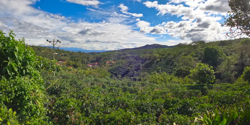
The canton is essentially agricultural, with the coffee sectors towards the center and south of the canton and the cattle sector towards the north, up the mountain.
Naranjo is in the middle of both production sectors, being a strategic point due to its proximity to the Bernardo Soto highway.
The city has restaurants, sodas, bakeries, supermarkets, banks, among other services. But what stands out is the presence of some gourmet cafes, such as La Rivera coffee, which serves coffee harvested in the area.
City and Canton Geography
Something curious about this city is that it is located on top of a hill surrounded by two depressions caused by the Pilas river and the San Lucas creek. On both sides of the city you will have beautiful views of the mountainous area surrounding the city. To the north you will see the Volcan Viejo hill and the Porvenir volcano, part of the Juan Blanco Castro national park. To the east you can see the Poas volcano.
To the west are the Espiritu Santo and Hornos hills. If you can find a rooftop or high point, you can see to the southeast, the towns of Sarchí and Grecia.
In general the geography of the place is rugged, with depressions and elevations here and there. Most of the agricultural activities take place on the slopes of the mountains.
What to do in Naranjo
Naranjo is not exactly a touristy place. However, for those looking for an experience that transcends time, coffee tours offer a journey into the past, where tradition meets modernity.
There are some coffee tours like Espiritu Santo Coffe Tour that offer a trip through the farm and the coffee process and then taste the result in their coffee shop.
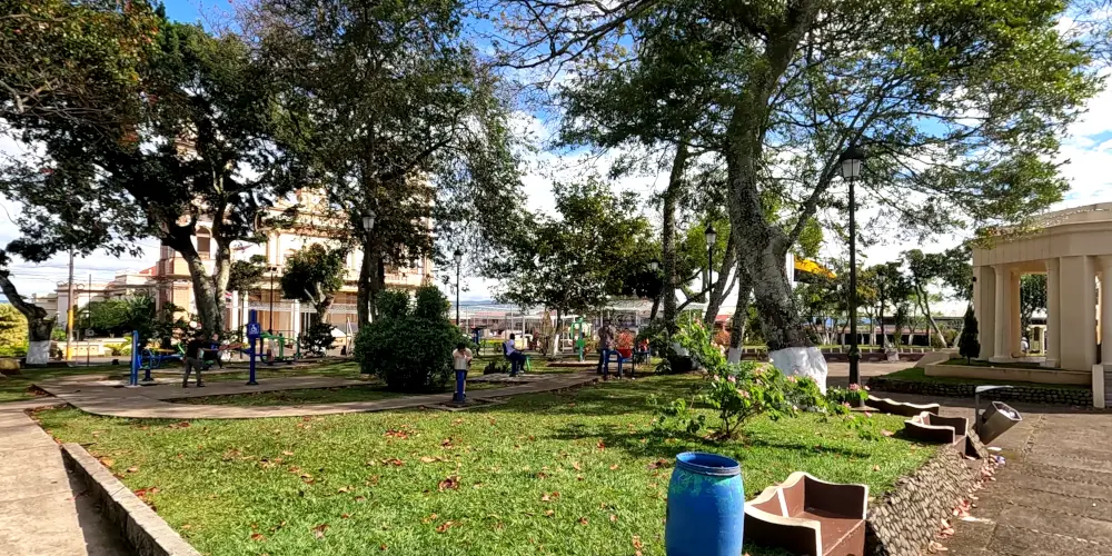
Afterwards you could take a walk through the town of Naranjo, its park and its municipal market.
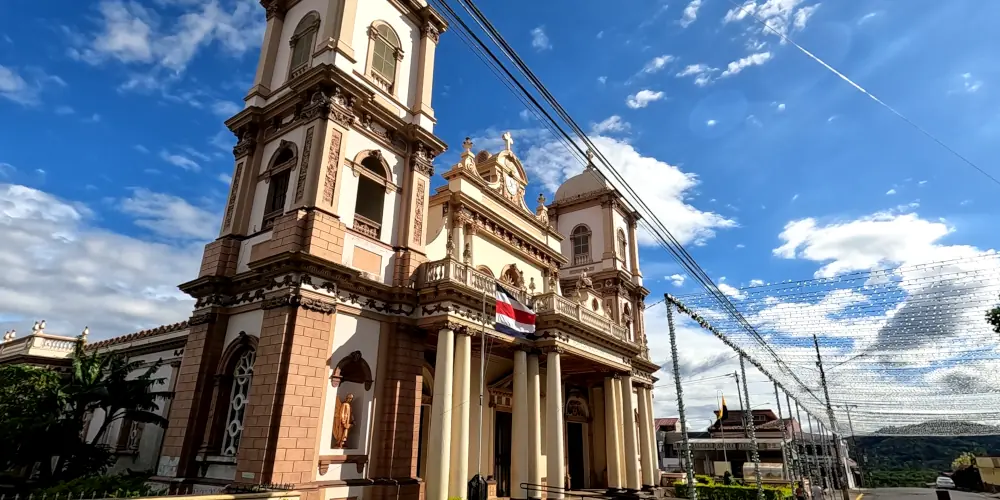
There is the Nuestra Señora de las Piedades Church, which is almost 100 years old since it was built. Behind the church there is a small grotto where they have a canal with carp and colorful fish.
Villages like San Geronimo, 5 minutes from the city, are a delight to the eye and a sample of the peaceful way of life of Costa Ricans.
Going up the mountain, towards the communities of Sabanilla or Cirri, you can find bar restaurants with very pleasant atmospheres such as the Fenix Bar, the Fogon de July and Donde Pelos restaurant.
For hiking lovers there is the El Chayote Protected Zone, near the road to Zarcero. Special for nature and mountain lovers.
Conclusion
If you want to explore the western Central Valley, Grecia, Sarchi, Naranjo and Palmares, you can count with our rooms, our summer house in our hotel.
If you want to know more about Naranjo and its history, visit the page of the Municipality.
This article was written by a human being, using several visits to the Naranjo area as a source.


